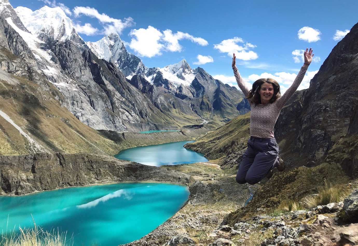
The Huayhuash circuit in Peru’s Cordillera Blanca is widely considered one of the top ten treks in the world. The 8 day trek through mountain passes, valleys and past glacial lakes peaked my interest – I was really really keen to do it!
However, having never done a trek that long before at such high altitudes I was slightly worried I wouldn’t be able to do it.
As a test run, I did the four day Santa Cruz trek which I really enjoyed. Off the back of that, I then decided that I would do Huayhuash. In my eyes when else would I be in this part of the world again with the time to do it! It was a golden opportunity!
I’m over the moon I completed it! It’s the longest hike I’ve ever done and was so stunningly beautiful! Read on for my Huayhuash experience…apologies in advance – this is going to be long! 8 days of content!
The Huayhuash Trek
Day One – Huaraz – Quartelhuain
Day One was all about getting to the start point of the trek. Most of the day was spent in the van and it was a no walking day.
Pick up for the Huayhuash trek was actually at a reasonable hour – from 8.30am, instead of the usual 4.30am. I was happy to get a few more hours in bed!
8.30am came and went and I was honestly getting a bit twitchy that they weren’t coming or had forgotten me! I was picked up – just after 9am – Peruvian time keeping and all!
There was no walking for the first day, only driving to the start point and where we’d camp for the night*.
It was about a 6hr drive to the first camp which included a stop for lunch in Chiquian, a small town. We also gave our guide 240 soles each which covered the entrance fees for the communities lands we would be walking through on the trek.
We arrived at 3pm and quickly rushed to put our tents up before it started raining. Our first night of camping didn’t get off to the greatest start; one of the two stoves refused to light! Popcorn was the immediate solution! We were then able to have soup but not the main dish.
I also realised that I had no walking poles for the trek, despite having asked for them, which was annoying! However, the discovery that the sleeping mat was foam and padded made my day and I was so happy! Definitely an upgrade from Santa Cruz hike!
*I’ve heard that some groups do a few hours of walking on the first day and less on the second. To do that I think pick up is at 4.30am.
Camped at Quartelhuain at 4100m
Day Two – Quartelhuain – Cacananpunta pass – Carhuac pass – Laguna Carhuacocha
Day Two was the first day of walking and it was one of uphills and downhills as we crossed two mountain passes: one at 4700m called Cacananpunta, and the second at 4650m called Carhuac.
Waking up at 6am, we had breakfast at 6.20am and started walking around 7.15am. It was cold – frost on the tent and ground! It took me a good hour of walking before I could feel my feet!
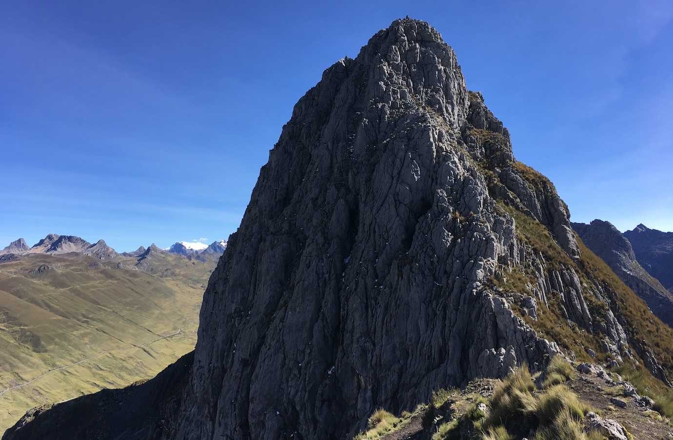
The views were fab and we had great blue sky sunshine with a few clouds. Lunch was wonderful – fresh avocado, tomato and cucumber sandwiches – and a great energy booster and break. I’d been flagging a bit before that, I have no idea why.
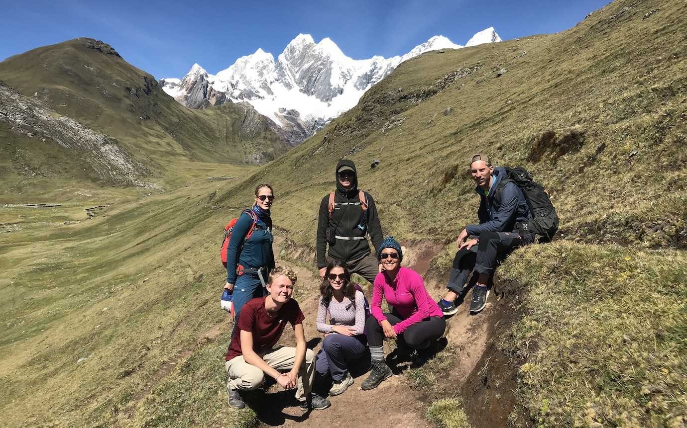
We arrived to Laguna Carhuacocha around 3pm where we sat enjoying the view of the lake and snow capped mountains for a while. Then it was down to the campsite for popcorn and coca tea snack time.
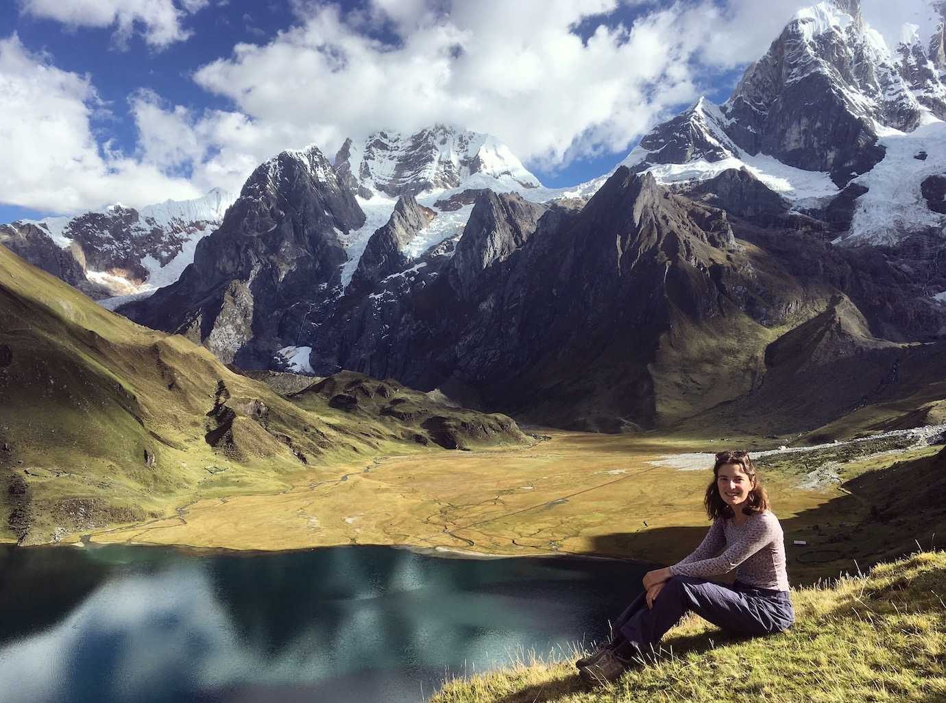
The stove problem from the first night had been kind of solved; the guy in charge of the donkeys had returned to the nearest town to get another stove which although is weak can use two pans at a time.
The rain came and we were so glad to be in the tents! Classic me tripped over a tent peg in the dark and for once my mini first aid kit of plasters, wipes and antiseptic cream came in handy!
Hours walked: 8hrs
Distance walked: 16km
Highest altitude: 4700m
Altitude gain: 600m
Altitude loss: 550m
Camped at Carhuacocha at 4150m
Day Three – Laguna Carhuacocha – Siula pass – Huayhuash campsite
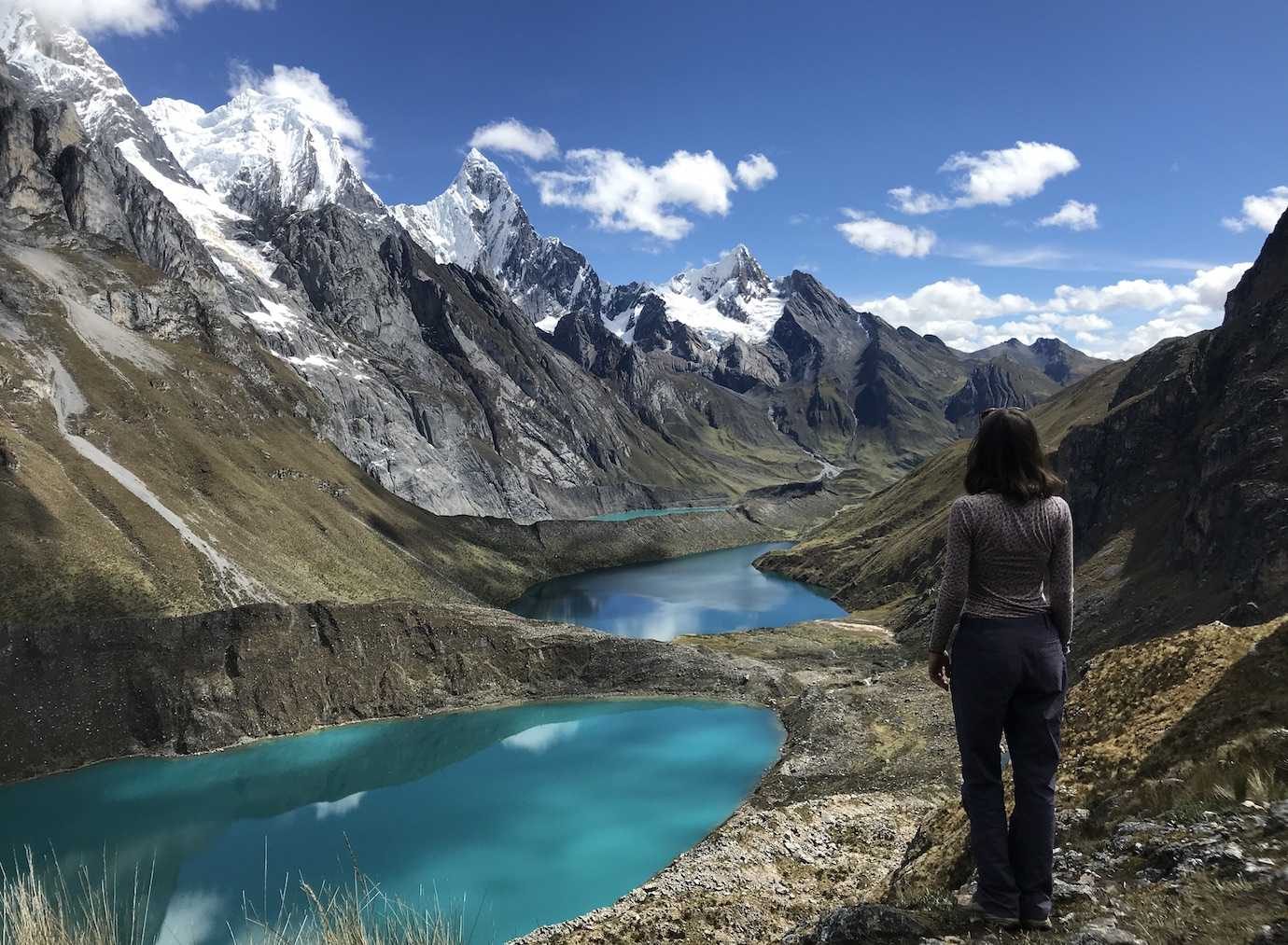
One of my favourite days!!! We saw the absolutely beautiful three lakes and crossed Siula Pass at 4800m.
The morning routine was the same, with breakfast at 6.15am and we started walking just after 7am.
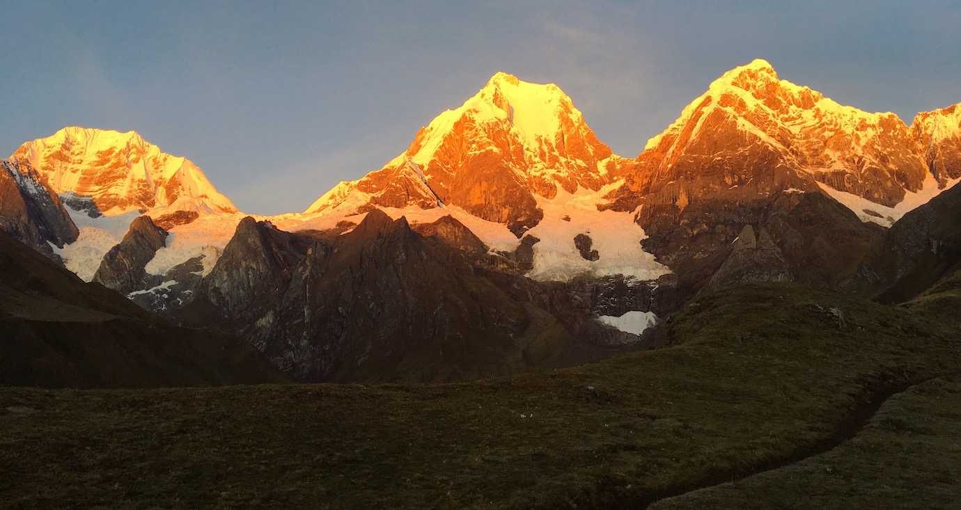
The mountains backdropping the lake caught the sunrise, slowly glowing golden as the sun rose. So beautiful and really reminded me of seeing the sunrise at Fitz Roy!! It also felt warmer than the first morning so no frozen toes for me!
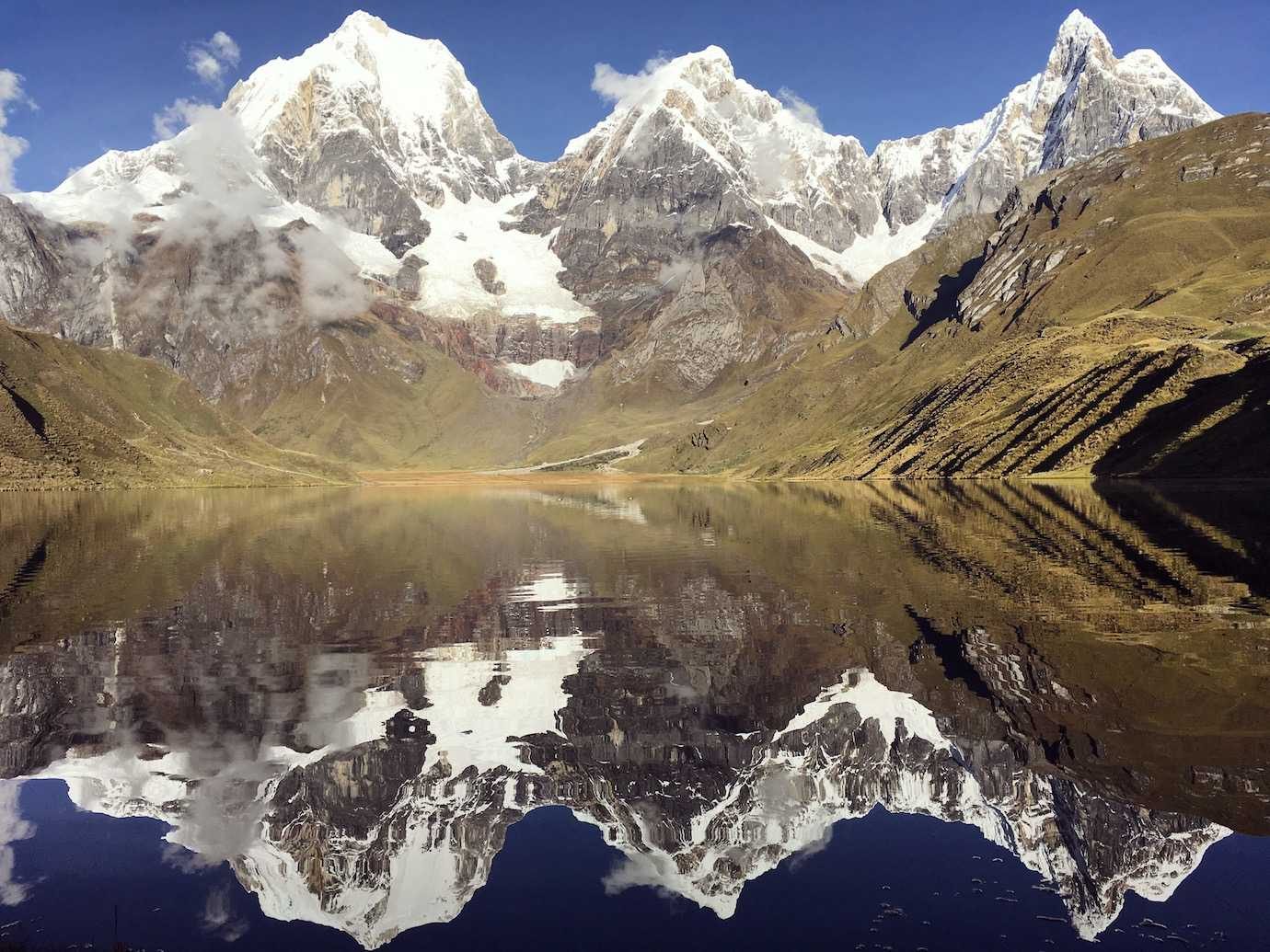
Our first proper stop of the day was at the first two lakes. We climbed up to the ridge where there was a stunning view of the first turquoise lake (Qanrajancacocha).
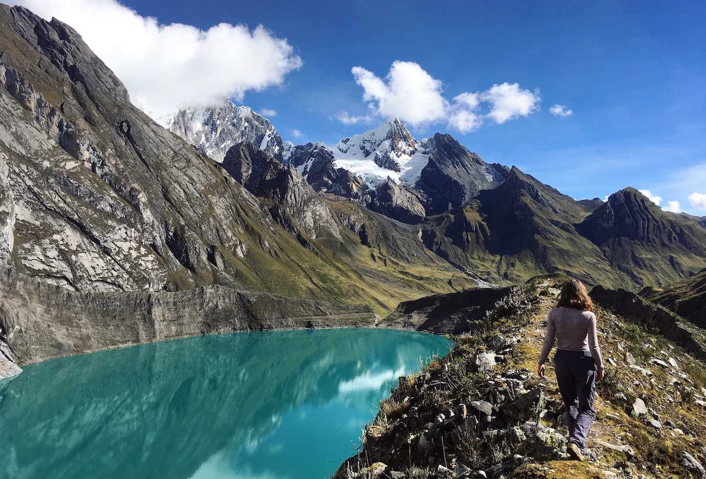
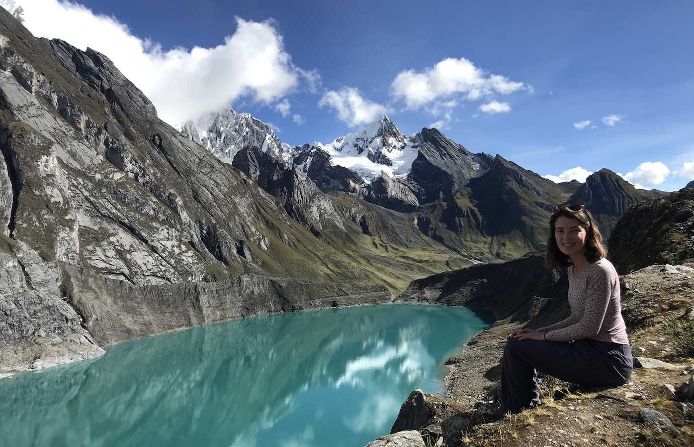
I was over the moon with the weather – the rain from the night before had disappeared and we had blue sky with a few clouds which really showed the lakes at their best!
We then walked around one side of the second lake (Siulacocha) before starting the steep climb up to the Tres Lagunas Mirador. Gosh was it a steep climb (around 50mins uphill), I slowed myself down further by stopping every 5 mins just to enjoy the view and take the same picture again and again!
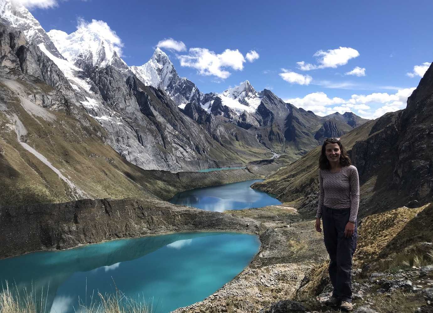
Reaching the mirador we were finally treated to the view of all three lagunas at the same time. I loved loved it!!! So breathtaking and all three were different shades which was incredible!
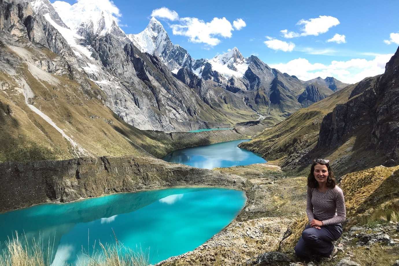
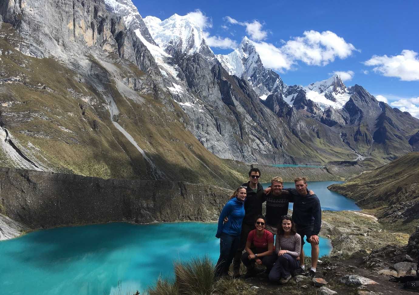
From the mirador, it was onwards and upwards to the mountain pass, Siula at 4800m and the highest point for the day. It was another steep rocky uphill and I really would have appreciated walking poles for stability at times. The views from the top were again fab! The scenery on the trek so far is just brill!
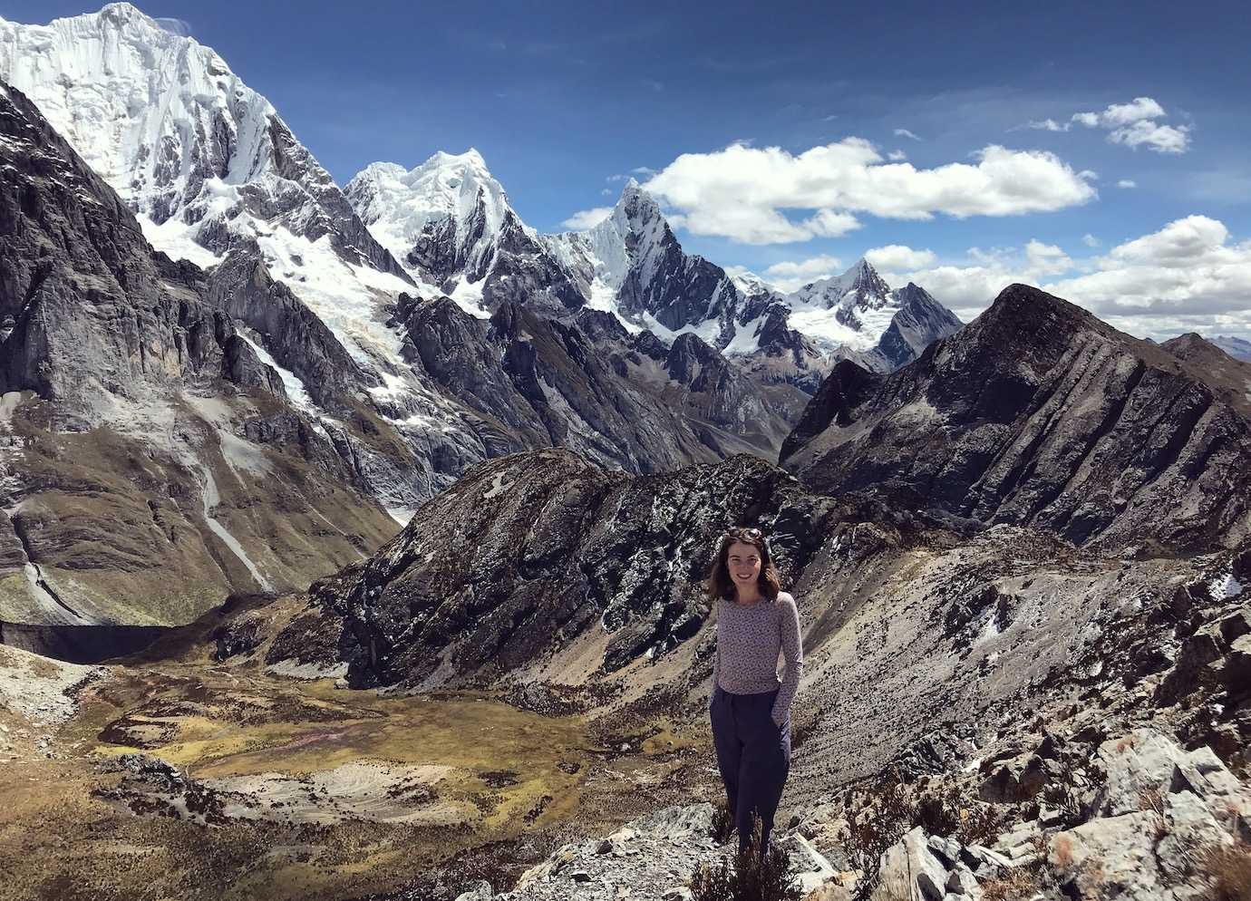
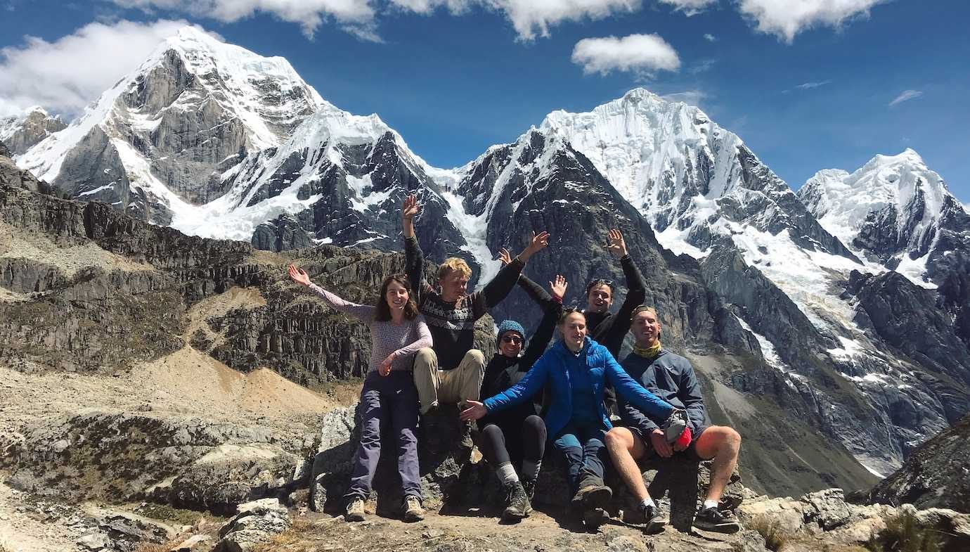
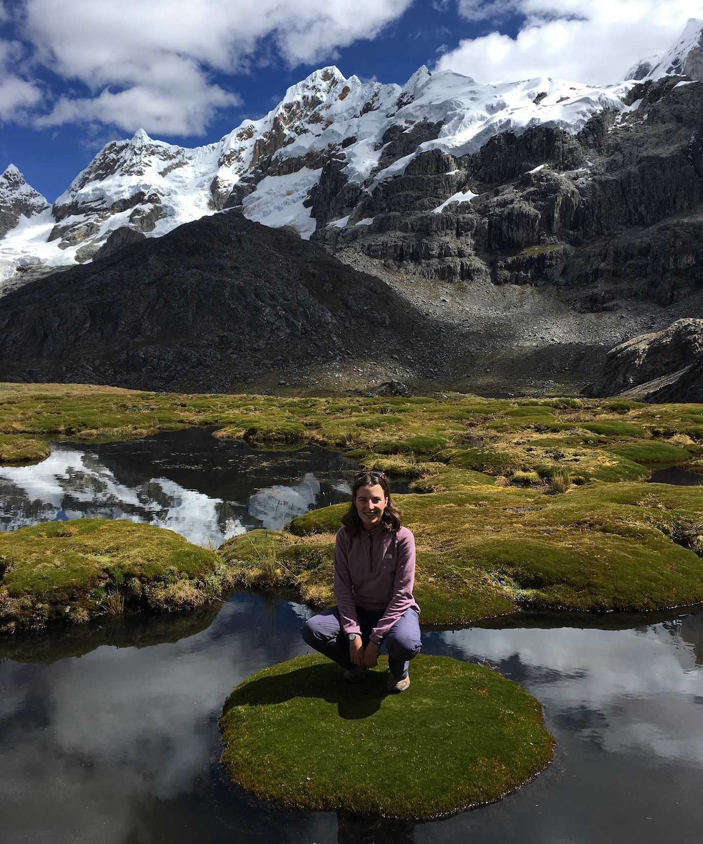
From then on it was downhill to the campsite with a stop for lunch (egg fried rice!!) at a really cool spot – giant green solid pods on water – not sure that makes sense so here’s a picture! I got serious frog vibes!
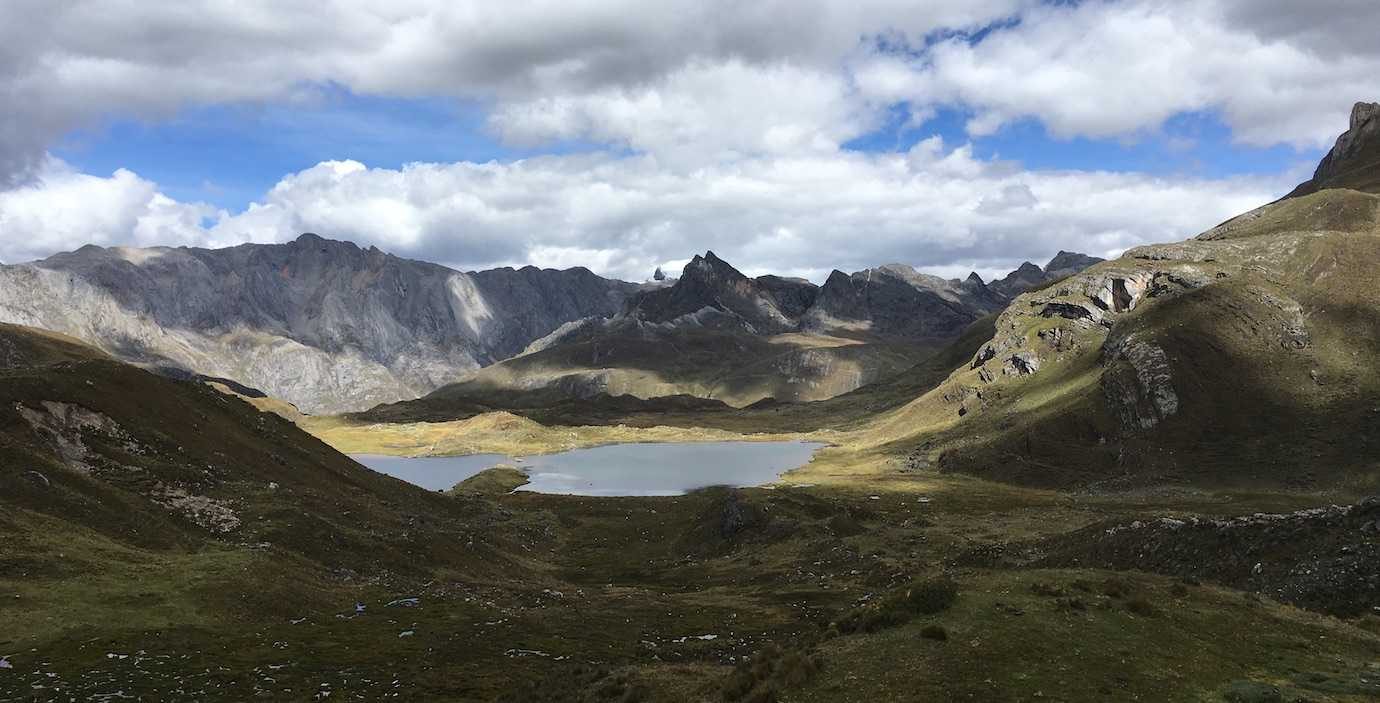
We had around two more hours of walking to the campsite to go after lunch. Some of the scenery reminded me of the Lake District in the UK and Wales and Scotland. It’s amazing seeing similarities to your home country when you’re on the other side of the world!
We got to the campsite around 3pm to relax, have snacks and another nice dinner. Then time for another early night – 7/8pm! Can’t believe how early it is, then again it’s cold! Also the starry night sky is awesome – the Milky Way so so magical!
I now understand why the paths are muddy and water, from previous rainfall! It’s weird walking in sunshine yet jumping mud and marshlands.
Hours walked: 8hrs
Distance walked: 13km
Highest altitude: 4800m
Altitude gain: 650m
Altitude loss: 550m
Camped at Campamento Huayhuash at 4250m
Day Four – Campamento Huayhuash – Trapecio pass – Campamento Cuyo
Day Four was another day of steep uphill, high altitude, incredible views, and gravely descents. We crossed the Trapecio mountain pass at 5000m – highest point of the trek so far – and got up close to glacial snow!
We started the day with pancakes and dulce de leche! I was back to having freezing feet and toes again which took a while to warm up!
From camp, we set off walking steadily uphill through grassy marshy fields before joining the rocky path with a steeper incline which led to the mountain pass. Again it was a winning weather day – no rain!!!
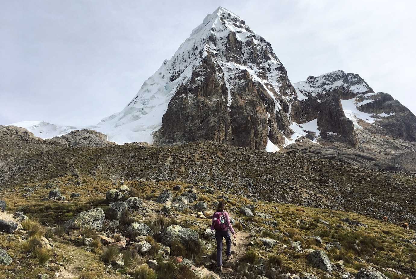
It took us about 3hrs to reach the pass. I was having a slow morning; my legs were feeling quite heavy and not on the same page as my head! I made it!
Once at the windy and cold top, our guide gave us the option to get closer to the glacier and snow. It wasn’t the easiest path to the glacier, mainly loose rock, scree and gravel that we had to slip and slide across.
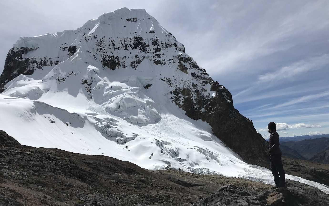
At one point I was really nervous about slipping over and had a mini panic. With some help I continued and we reached the snow where we all had a pic. It was a short stop as you never know when there’ll be an avalanche, according to our guide!
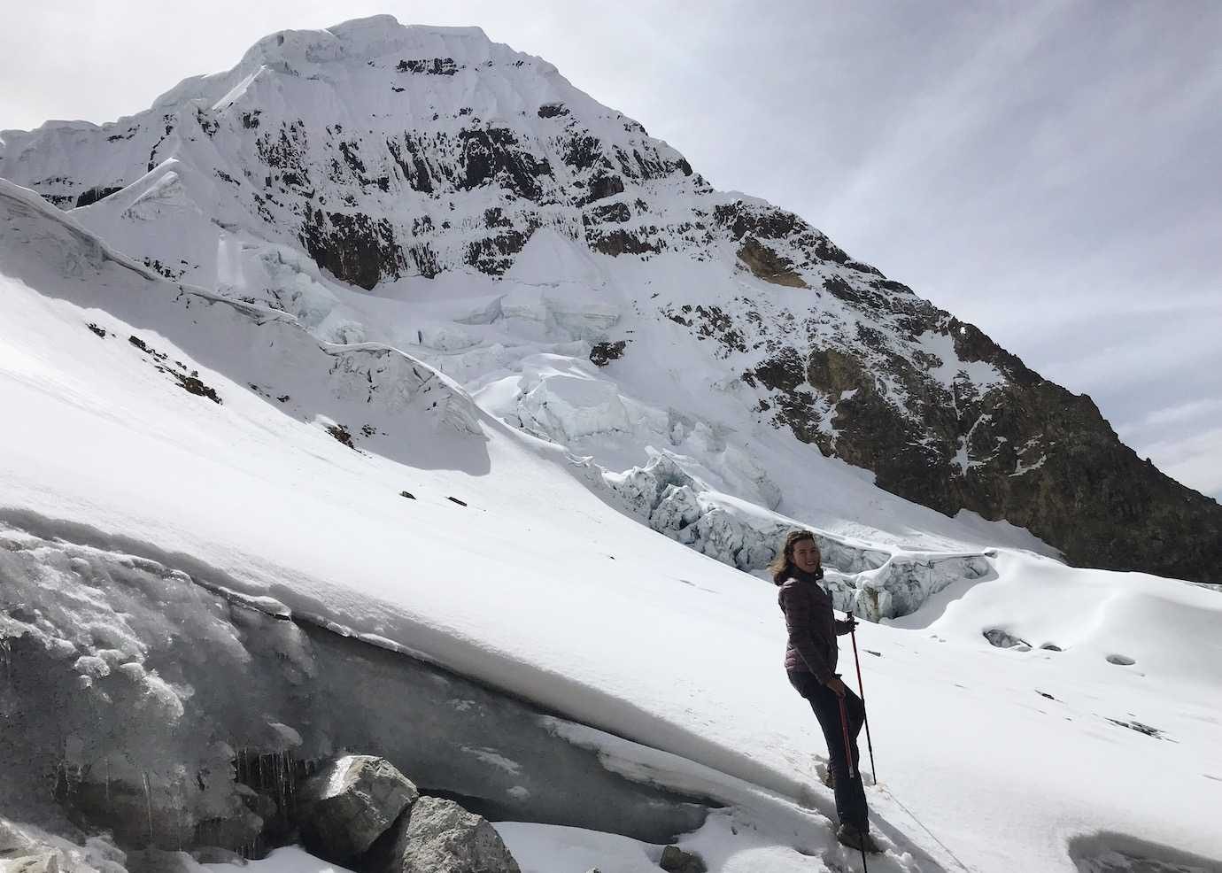
From the pass, it was pretty much downhill for the rest of the day. I was amazed how much the landscape had changed in several hours. We’d started the day in muddy grassland, reached snow, and were now descending through rocky dry arid landscapes dotted with brilliant blue lakes. It was incredible!!
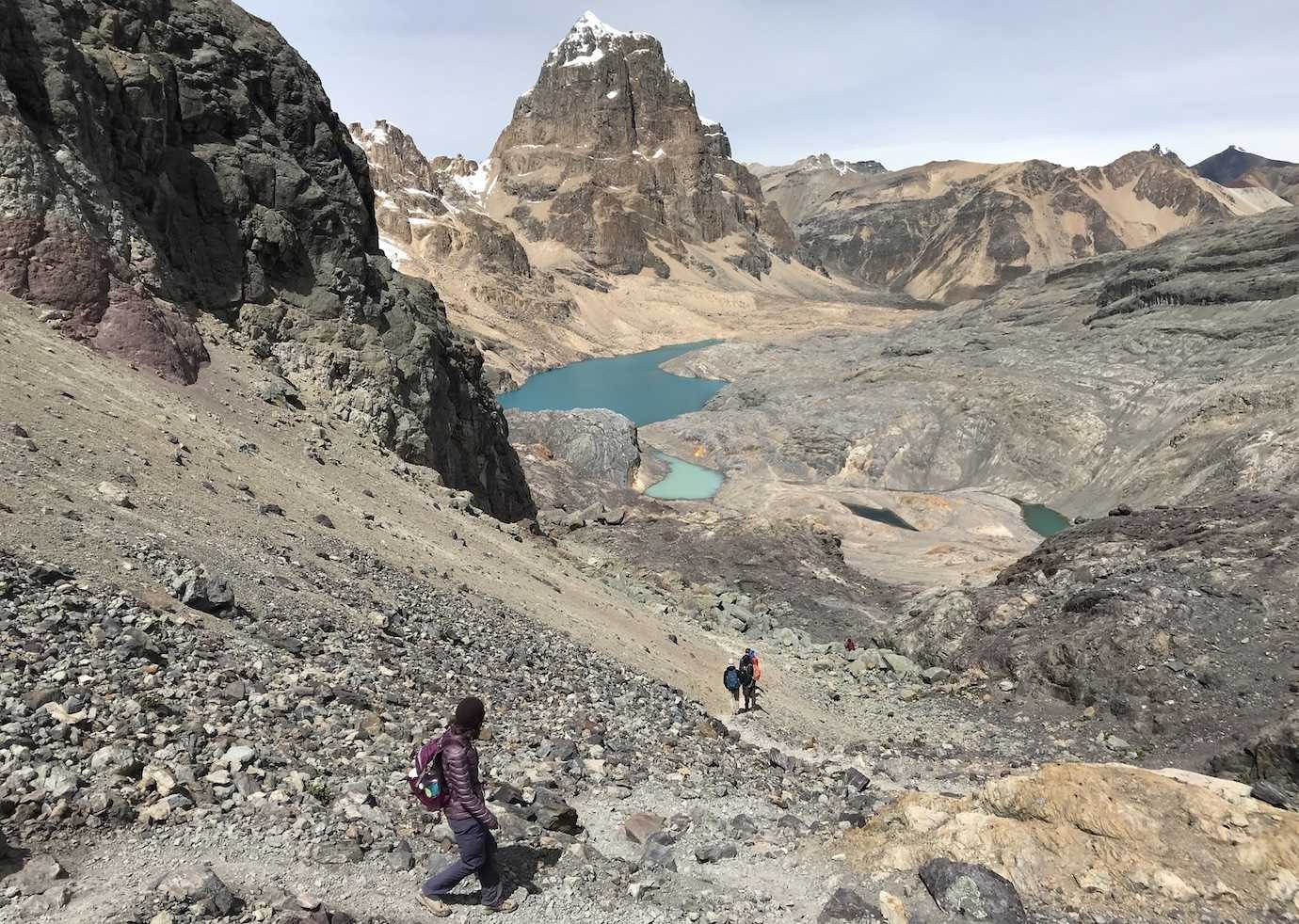
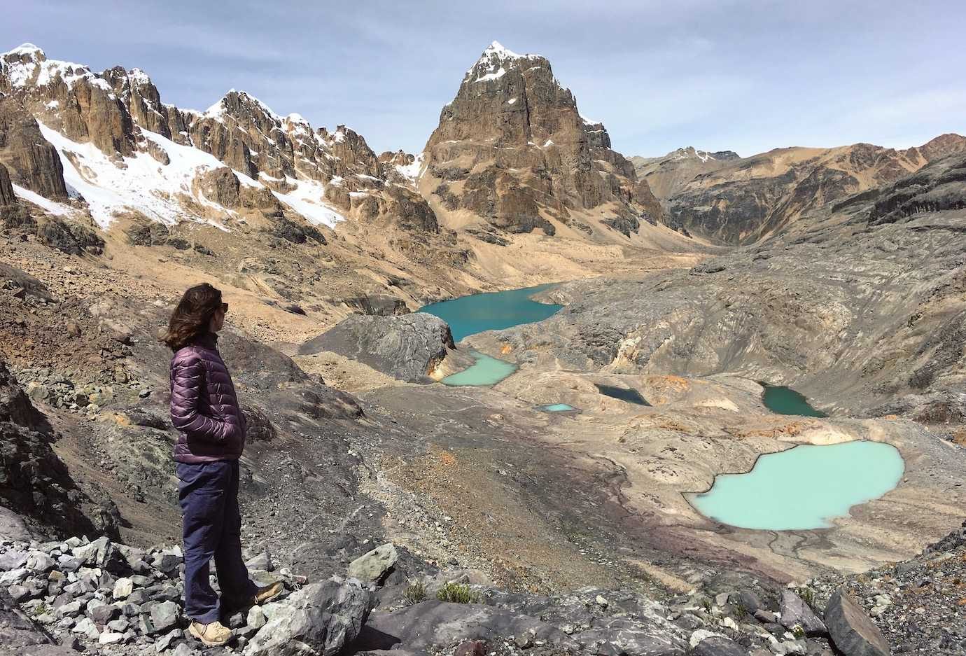
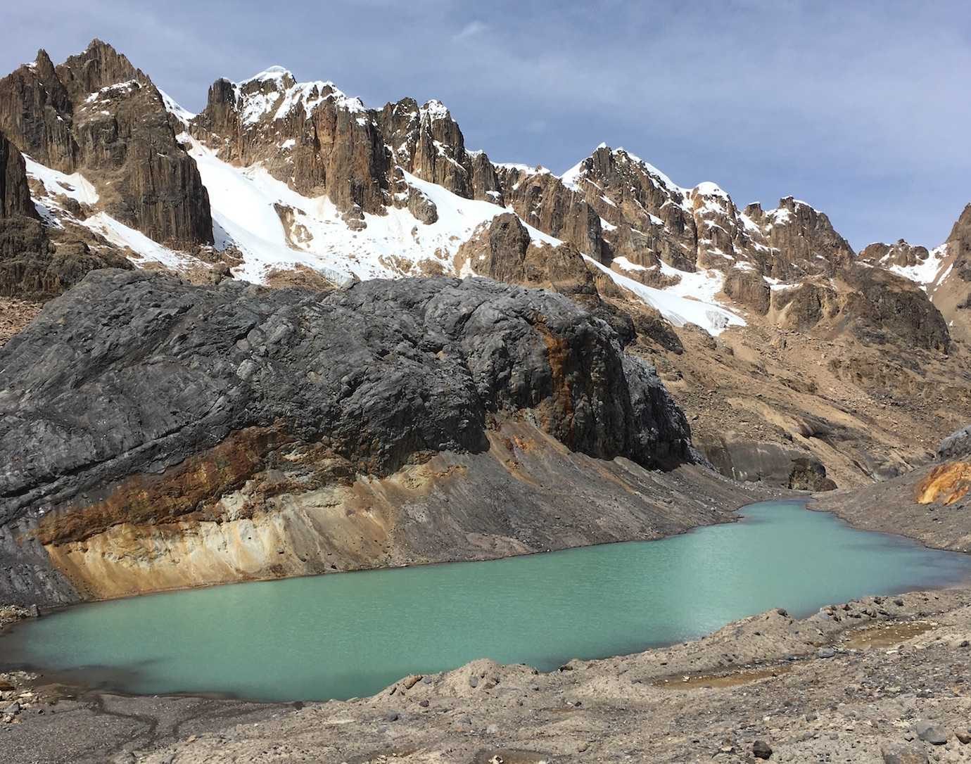
We stopped once more for lunch (cheese and tuna sandwiches!) and then continued on to camp.
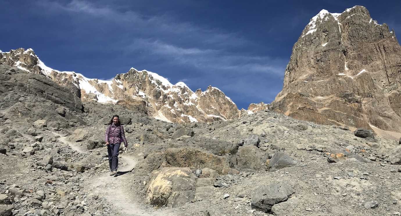
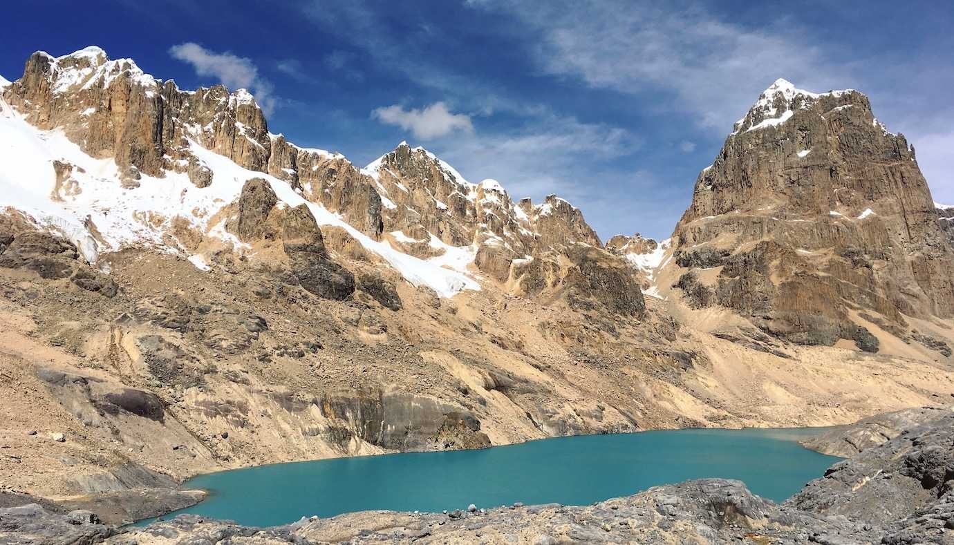
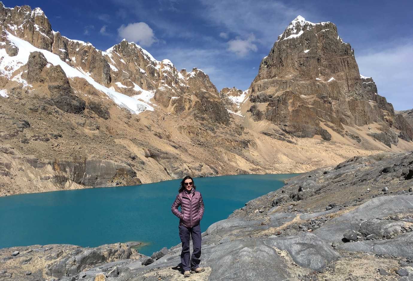
We’d been given the option at lunch to go to the San Antonio Mirador as soon as we got to camp. However, we decided as a group that it was too much walking for one day and it would be better to save a mountain pass for the next day.
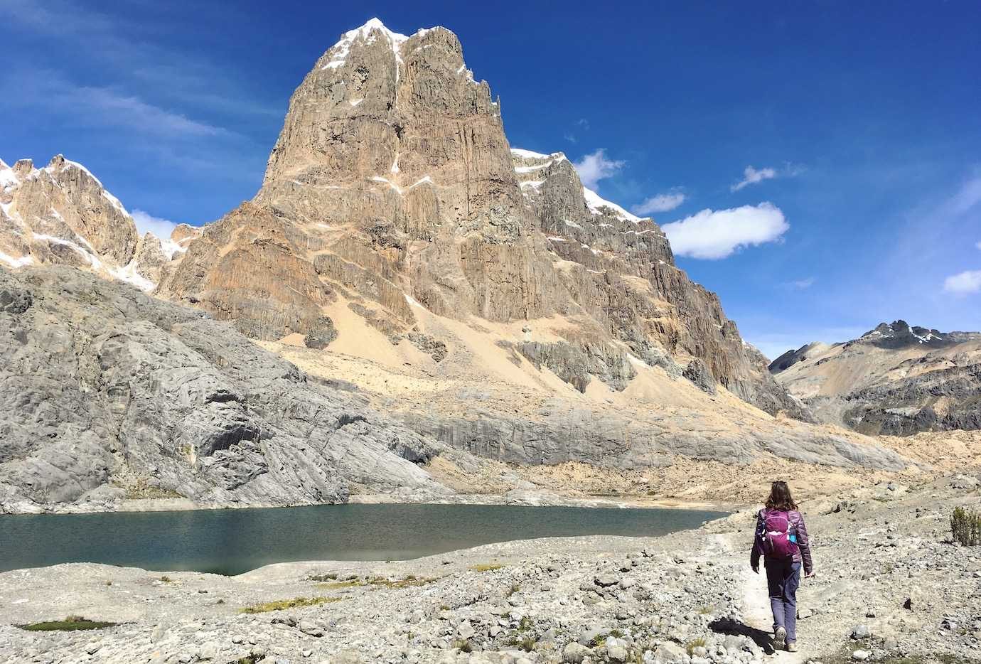
Also, some groups hiking Huayhuash don’t do the Trapecio mountain pass and instead go to hot springs. However nice hot springs sounded, I was really happy we hiked the Trapecio pass; it really was stunning!
We arrived to camp at 2.30pm and had the afternoon to ourselves to relax. I cooled my feet off in the freezing river water and enjoyed a snickers in the sunshine.
Hours walked: 7hrs15
Distance walked: 9km
Highest altitude: 5000m
Altitude gain: 750m
Altitude loss: 750m
Camped at Campamento Cuyo at 4250m
Day Five – Campamento Cuyo – San Antonio pass – Huayllapa village
Day Five was a day of ever changing altitudes. At 8am we’d reached 5090m at the San Antonio mirador and by 3pm we’d descended through valleys to Huayllapa village at 3500m.
We got up an hour earlier to walk to the San Antonio viewpoint at 5090m – the highest point of the trek!
Leaving at 6.30am, it was a steep uphill trail to the viewpoint. There’s a flattish section after about 20mins of uphill where we had the option to leave our rucksacks for the rest of the climb. I kept mine for water, snack and extra layer purposes!
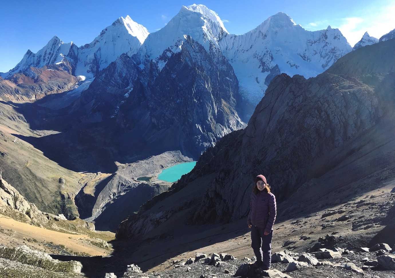
From the flat part, it took me just over an hour to reach the ridge viewpoint. It was hard! The trail was really steep, basically loose rocks and scree which made me really nervous about slipping.
I was the last one to the top (tortoise!), stopping to catch my breath several times and really watching my footing. It was totally worth the climb; the views were fab!
We had two options for going down. The first route our guide described as “muy malo”. A bit of an understatement in my eyes, I couldn’t even see a trail!
I was happy we decided to avoid the death trap and return the way we’d come. That said the way we’d came wasn’t fun either – lots of loose scree and rocks made it a very slip slidy descent. Walking poles wouldn’t have gone amiss!!
I made it down in one piece and have to say that it wasn’t as bad as I expected.
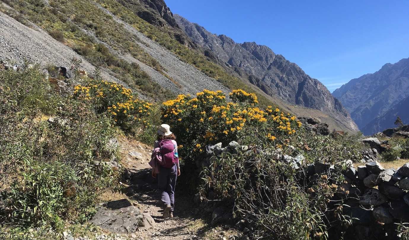
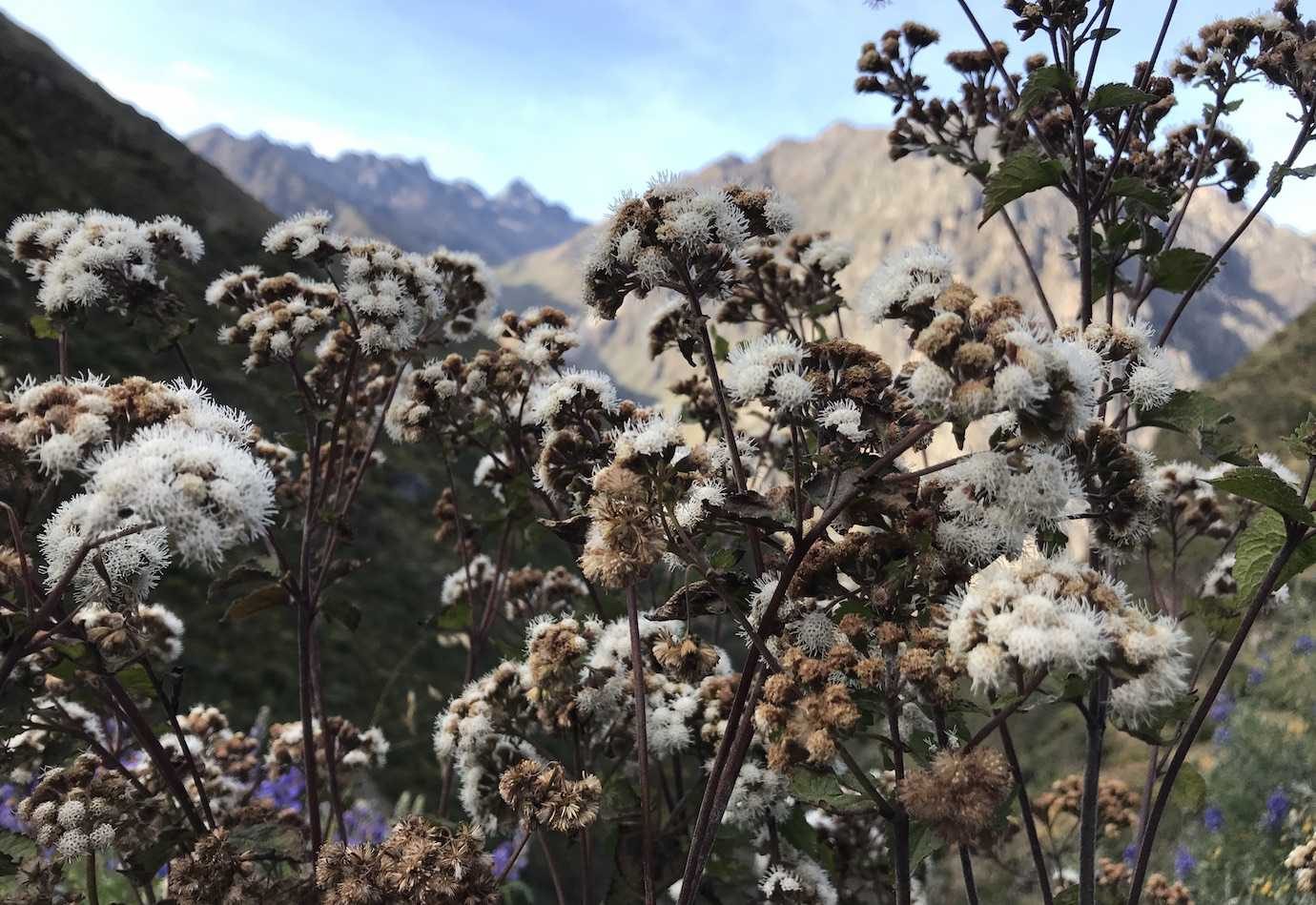
Having hiked the mountain pass for the day, the next part of walking was mainly flat or downhill through the valley. Again the scenery was so different and as we got lower flowers and plants started to appear again.
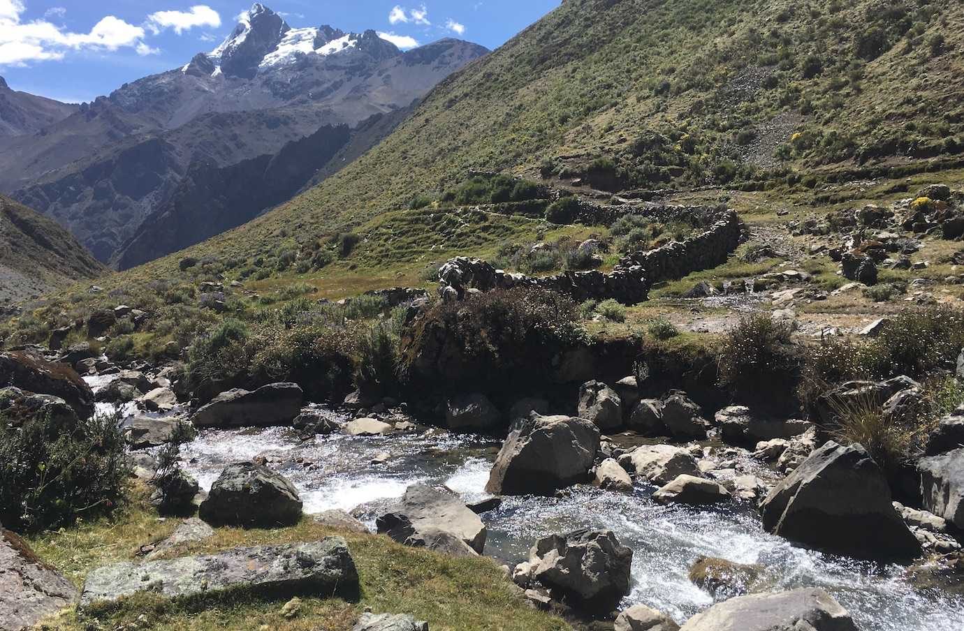
We had delicious avocado and tomato sandwiches again for lunch sat next to a river. It was so peaceful, I had a nap in the sunshine listening to the flowing water.
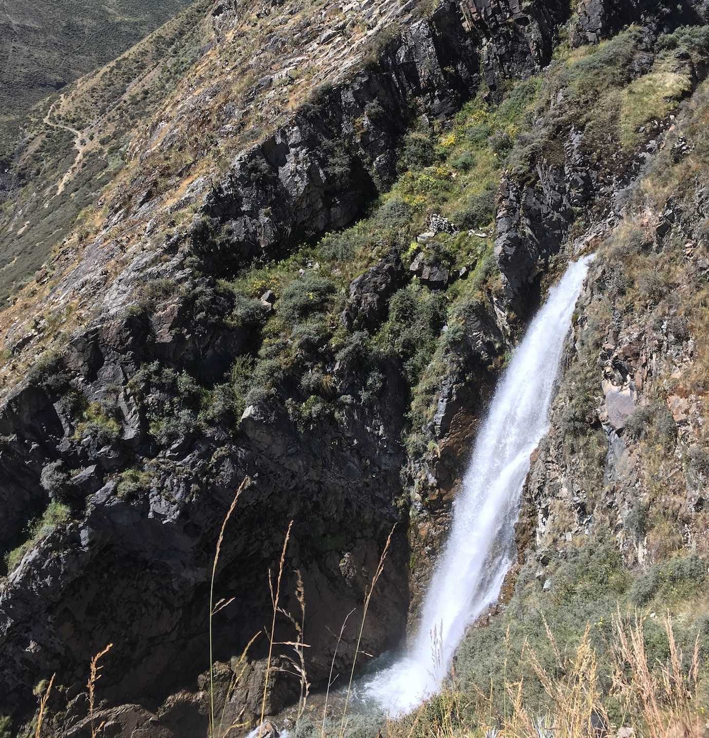
Our descent continued and had some surprise tricky parts. At one point we were following a steep loose rocky path down next to a massive waterfall. I wasn’t a fan of the climb down but the waterfall was impressive and unexpected. It flowed into a river and occasionally broke into smaller waterfalls.
We arrived to camp, in Huayllapa’s village small football field around 3pm. It was nice to see a small village and I got a cold shower to vaguely feel refreshed!
Hours walked: 8hrs30
Distance walked: 19km
Highest altitude: 5090m
Altitude gain: 840m
Altitude loss: 1590m
Camped in Huayllapa pueblo at 3500m
Day Six – Huayllapa – Tapuche pass – Campamento Gashpapampa
Day Six was back up into the mountains where we crossed the Tapuche mountain pass at 4700m.
Back to the normal morning routine, we were walking just after 7am. From the town it was a steady uphill climb with a few flat parts to the Tapuche pass.
The uphill wasn’t as steep as it has been on previous days, but the continuous ascent felt like a slog at times – like we were in a trance putting one foot in front of the other. I think I was having a lazy morning or the previous four days of walking were catching up to me!
A few breaks later (a juicy orange and a bag of sweets), I was feeling much more energetic and more like myself!
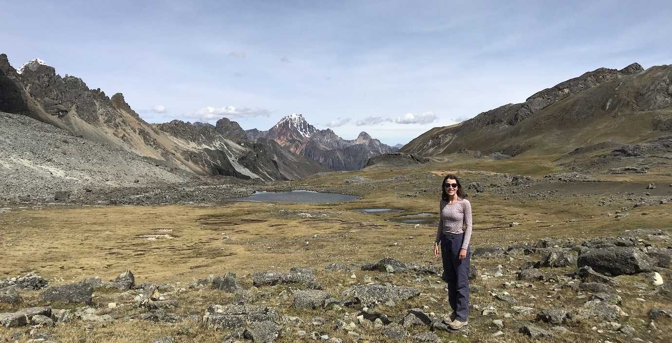
We stopped for lunch just before the pass and we all enjoyed a sunbathing nap. From there we quickly reached the pass, and since it was only a 40min walk down to camp we were able to relax up there for as long as we wanted.
At camp, snack time was cheese tequeños which were so good!! All the gooey cheese!
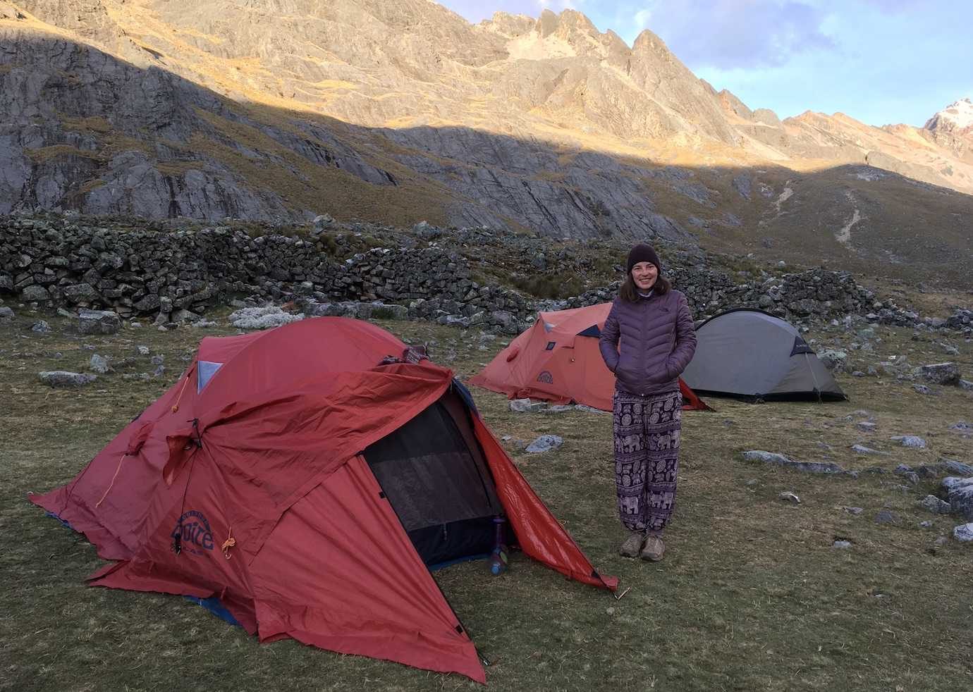
It was the coldest night and the highest we’d camped at! To escape the cold, I’d bury deep into the sleeping bag. However, because of the altitude and thinner air, I struggled to breathe in the sleeping bag and had to come up for air, leaving my face uncovered to get as much air as possible. Sleeping at altitude in sleeping bags was an interesting experience!
Hours walked: 7hrs
Distance walked: 12km
Highest altitude: 4700m
Altitude gain: 1200m
Altitude loss: 200m
Camped at Campamento Gashpapampa at 4500m
Day Seven – Campamento Gashpapampa – Yaucha pass – Laguna Jahuacocha
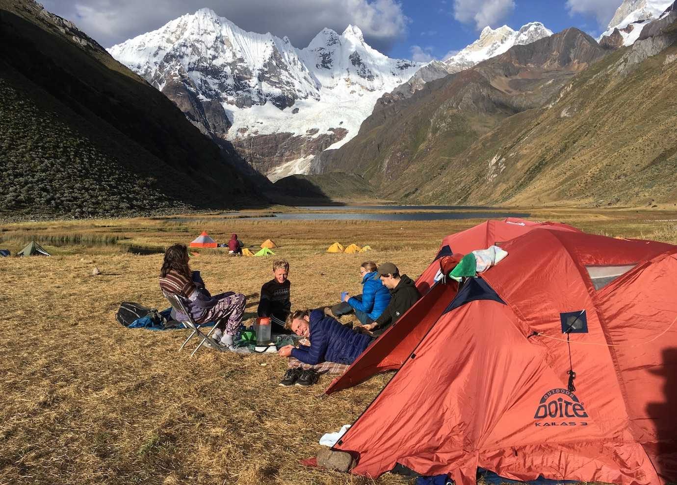
The penultimate day of walking! We crossed Paso Yaucha at 4800m, walked along the ridge with condors flying above and had magnificent views of Jahuacocha lake and two others backdropped by snowcapped mountains.
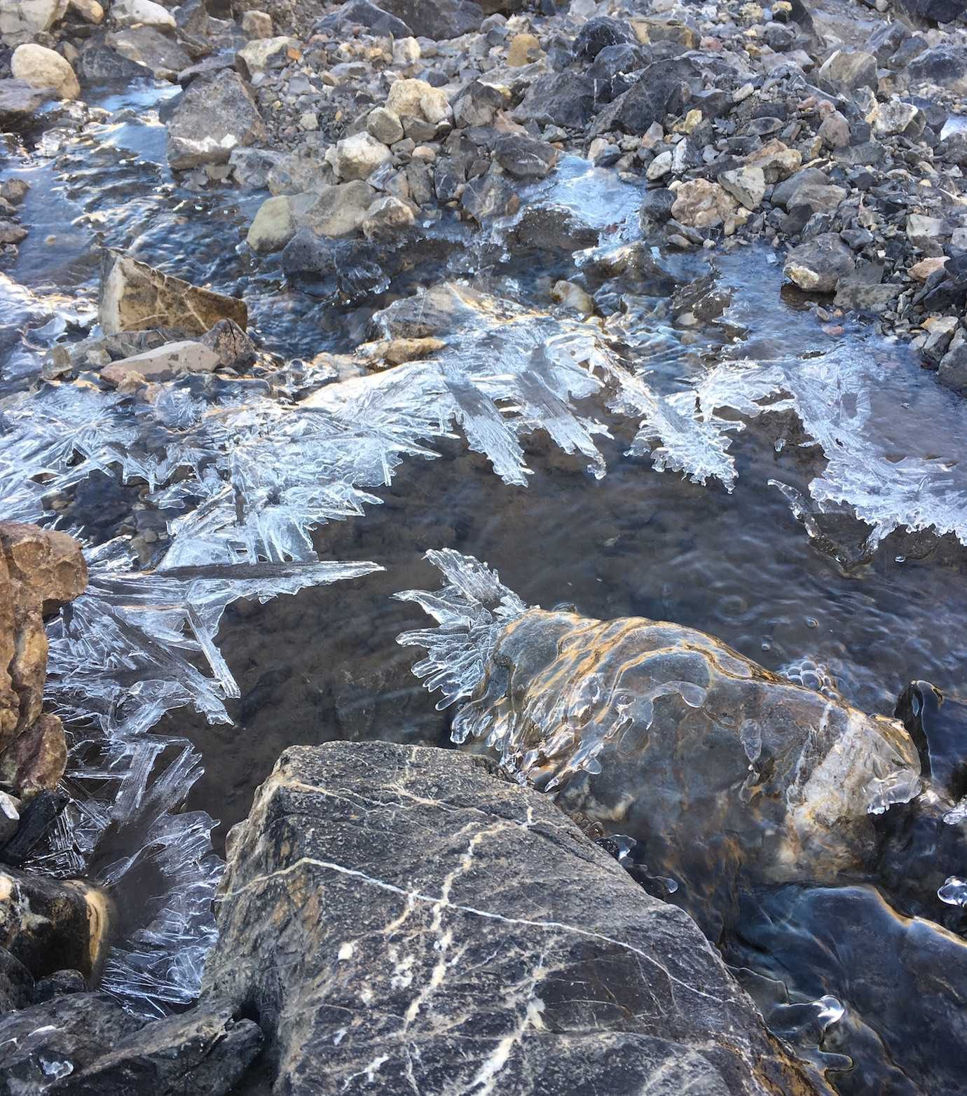
It was a cold cold morning. At 4500m (the highest we’d camped on the trek), the tents and ground were frozen. Frost was everywhere! I’d had to go to the toilet in the night – a chilly and frosty experience for sure – and returned to the tent to put on another layer for warmth.
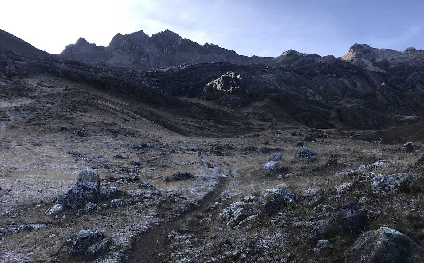
It took us 1hr40 to reach the Yaucha mountain pass. Once again a gradual uphill climb which soon became steep. I reckon we must be mountain pass experts at this point with the number we’ve crossed.
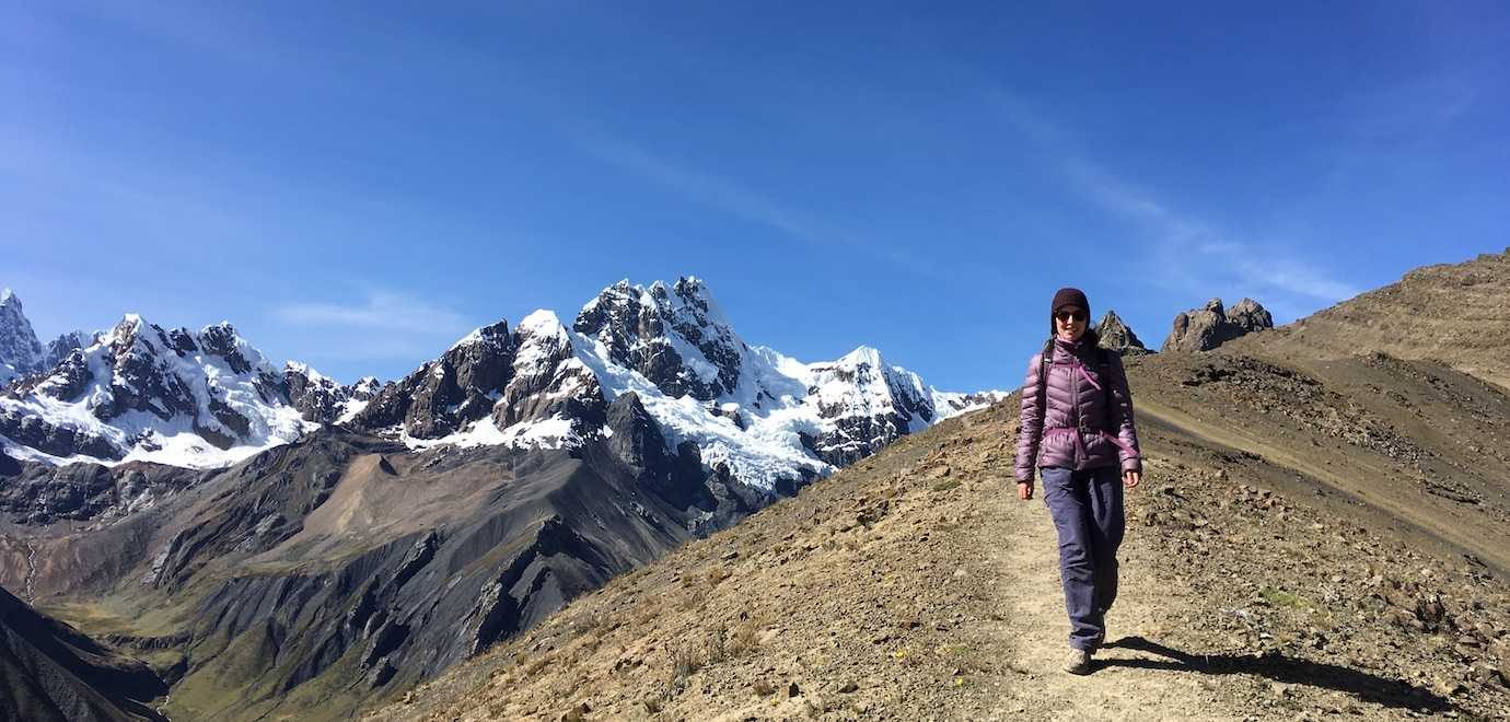
From the pass we walked along the ridge and every step the views were incredible. The whole ridge was a viewpoint!
As we were walking along the ridge we were also lucky to see condors. It’s the closest I’ve seen them, we could see their individual feathers!
It was pretty cool to be walking along the ridge with condors gliding up from below on the air currents.
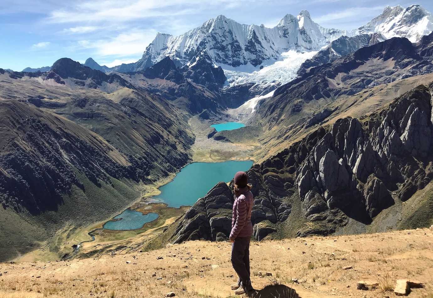
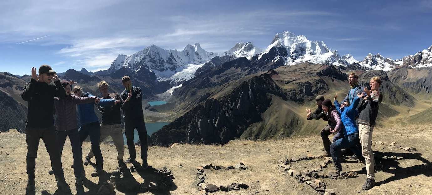
It was a steep steep descent from the ridge on a dirt dusty trail down to the camp by the lake.
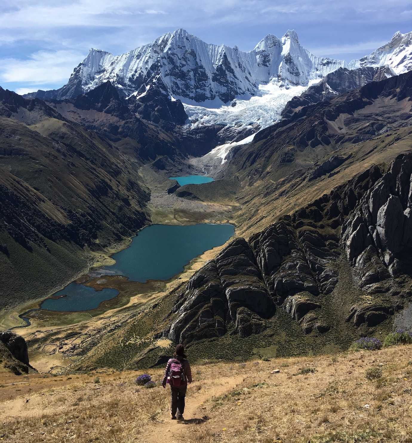
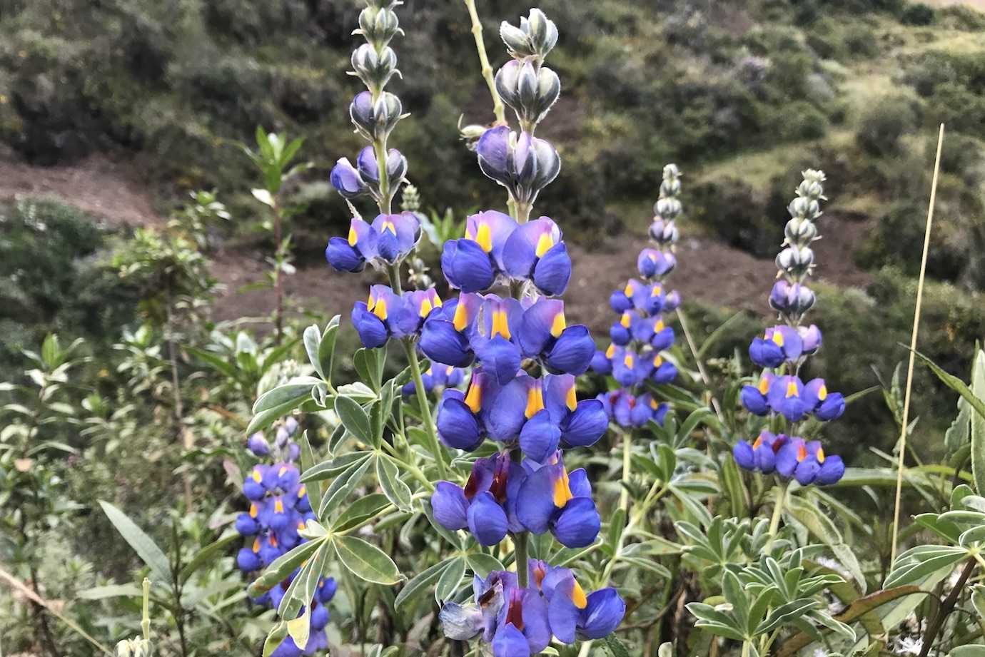
The purple flowers were out in force and I was loving life and the views! Not so much the path which required lots of concentration and me sticking to the grass as much as possible!
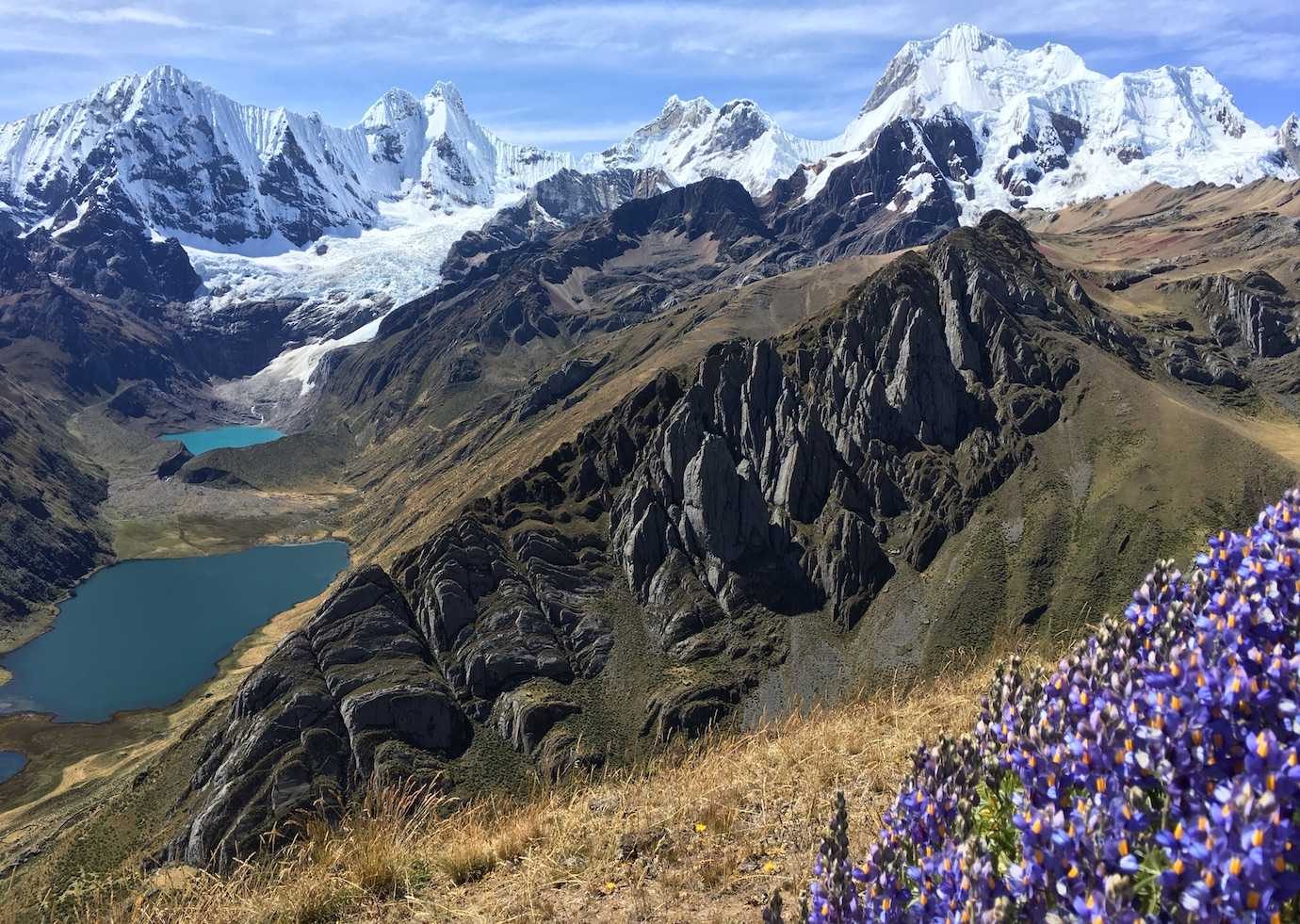

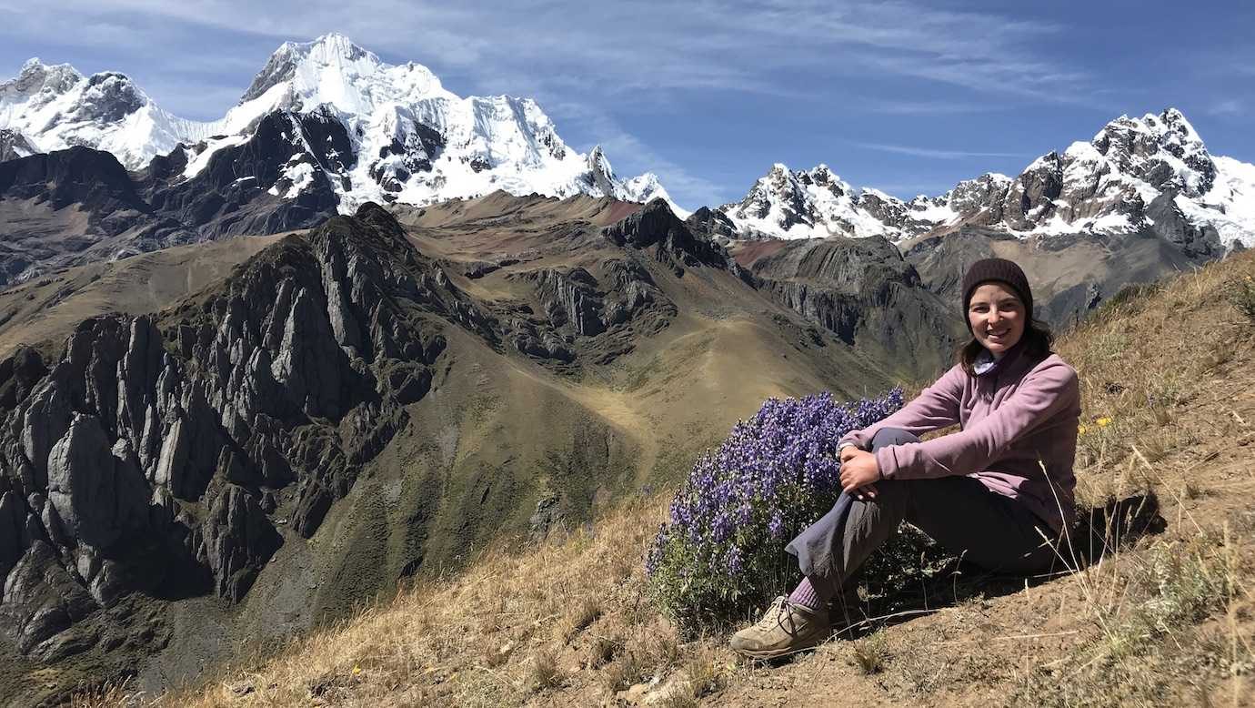
We stopped at another viewpoint and sat for ages just taking in the scenery! I could never grow bored of it!
It hasn’t been a long day of walking, we’ve paused a lot for the views and made it to camp for lunch. The rest of day we’ve spent chilling around camp and I even dared to go for a dip in the river. It was freezing – I was in and out in minutes! It did feel good to be slightly cleaner!
For dinner, we had trout freshly caught from the river which was delicious!
Hours walked: 6hrs
Distance walked: 10km
Highest altitude: 4800m
Altitude gain: 300m
Altitude loss: 700m
Camped at Jahuacocha lake at 4100m
Day 8 – Laguna Jahuacocha – Shulka pass – Pocpa
The last day of the trek and we still had some walking to do. From Jahuacocha lake, we walked up to Paso Shulka at 4500m, the last pass of the trek and where we got our last views of Cordillera Huayhuash, and then walked down to Pocpa village for our bus back to Huaraz.
We started walking an hour earlier than usual, at 6am. Frost covered the frozen ground and I was wrapped up in my multiple layers, two pairs of gloves, hat and buff.
It was just under a 2hr hike to Paso Shulka, relatively steep with several flat or more gentle uphill sections. The trail took us up the mountain opposite the ridge we’d walked along on Day Seven. It was crazy to see how high we’d been and how steep our descent was!
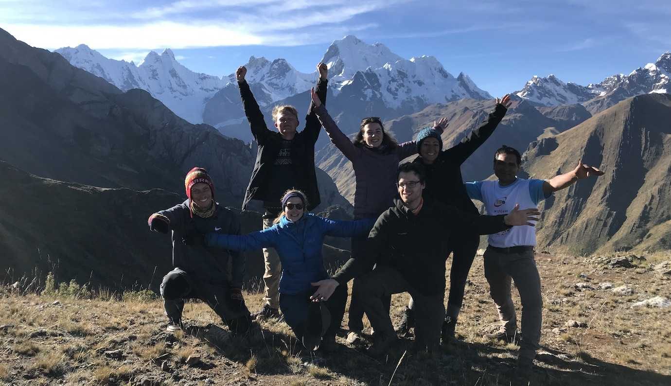
At Paso Shulka, I had my last cups of coca tea from my thermos and said goodbye to the stunning Cordillera Huayhuash.
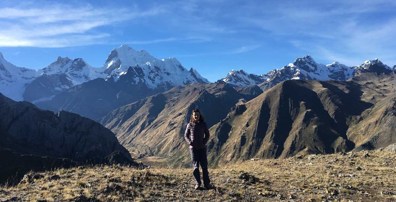
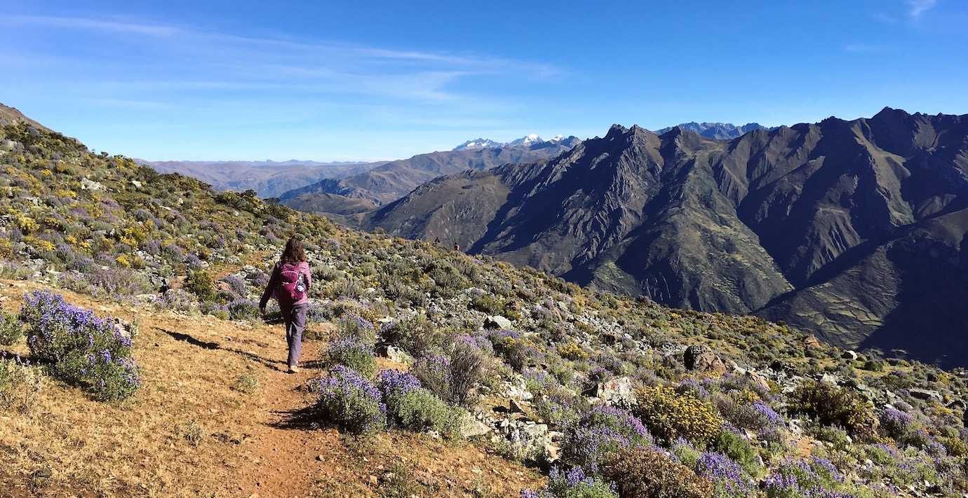
We then made our way down to Pocpa village. It was a slower descent than I was expecting. The trail was predominantly loose gravel and rocks which really slowed my progress. I stuck to the grass as much as possible but still had a few slip and catch myself moments with one ending with me briefly on the ground.
I quickly grew tired of all the loose stones and rocks! On the positive side, the scenery was great and the wildflowers were back out in force – so pretty!!
In Pocpa, we went for lunch and then got on our waiting bus back to Huaraz (5hrs). We’d done the 8 day Huayhuash trek!!! Tired feet but it felt so good!
Back in Huaraz (around 4.30pm), we all went back to our hostels and met up later for dinner to celebrate.
Hours walked: 4hrs45
Distance walked: 9km
Highest altitude: 4500m
Altitude gain: 400m
Altitude loss: 1000m
So there’s the 8 day hike! I hope I got the details right, it all became a bit of a blur at times with names, heights, distances…which seemed to change depending on who you asked! I’ve done my best!
Choosing a tour
There are lots of tour agencies in Huaraz offering the Huayhuash trek. There are also multiple options for the length of the trek – with 4 (mini Huayhuash), 8, 10 and 12 days. 8 days seems to be a popular option.
I booked my trek with the same agency (Galaxia Expeditions) I used for Santa Cruz.
I paid 900 soles (£210 approx) for 8 days which covered the guide/cook, donkeys, all meals (breakfast, lunch, dinner, snack time) and equipment (sleeping bags, blanket, tent, sleeping mats – which were so much better than those on Santa Cruz!). Plus, we got a daily snack bag with fruit, a chocolate bar and a biscuit. Also, a thermo with coca tea which was a first!!
The campground fees for the trek weren’t included in the tour price so we had to bring 240 soles more to cover this. We had to pay our guide 10 soles more, so 250 soles (£60 approx) in total when the price for one of the campgrounds went up.
Tours don’t depart every day and need a minimum of 6 people. For that reason I’m in a mixed group with five other people from various agencies. It’s very common for the agencies to pool their resources and clients.
When this happens, things do get lost in communication between the agencies, like my hiking poles! My agency said I’d have them but the message was not passed along to the agency in charge. I really should have followed up but I assumed everything had been passed along.
Note to self: always check straight away in the future if you’ve asked for something or are expecting something, even if you think it’s not the right time or annoying!
Also, the number of guides, cooks, horsemen depends on the size of the group. When the group is small, like in my case: there was only 6 of us, there tends to be only one horseman and another who serves as both guide and cook.
Weather
You can get all kinds of weather on the Huayhuash circuit – you’re in the mountains and it’s ever changeable so make sure you’re prepared. I did it in May during the dry season (May-September) and we got practically no rain.
Most days were blue sky and cloudy, with cold mornings and nights. We woke up to frost on tents and frozen ground most mornings. Make sure you have layers to keep warm!
Although we had great weather, most days we walked through a lot of mud, marshy, wet grass and rocks which was surprising. When it did rain (once!), it did so in the late afternoon and was why the trails were muddy the following day.
What I packed
I packed the following clothes and items for 8 days of hiking:
- 2 Uniqlo heat-tech long sleeve tops (one was extra warm for night)
- 1 T-shirt
- 1 sports bra
- 3 pairs of pants
- 2 pairs of hiking socks (in case of rain)
- 1 comfy pair socks (for night – thanks Mum!)
- 1 fleece (for day use)
- 1 alpaca jumper (for night)
- 1 down jacket (for day and night)
- 1 Uniqlo gilet (extra layer at night)
- 1 waterproof
- Poncho
- 1 waterproof trousers (luckily it didn’t rain, so not needed! Would always pack!)
- 1 pair of Uniqlo extra warm heat-tech leggings (for night)
- 1 pair of walking trousers
- 1 pair of floaty trousers (for night)
- Warm hat, buff and gloves
- Sun hat and sunglasses
- Headlamp (for around camp at night)
- Toiletries: toothbrush, toothpaste, deodorant, insect repellent, hand sanitiser, toilet roll, suncream, wipes
- Medical: plasters, paracetamol, ibuprofen, imodium etc
- Snacks: cookies, cereal biscuits, chocolate, sweets, fruit (I took far too many!)
- Battery powerpack
- Sleep liner (extra layer for sleeping bag)
- Flip flops (to wear around camp and give my feet a rest from hiking boots)
I only carried the layers, snacks and water I needed in my day rucksack. The rest I put in a bin bag and gave to the donkey. You’re allowed around 4kg to give to the donkey (no one ever weighed it).
Final thoughts
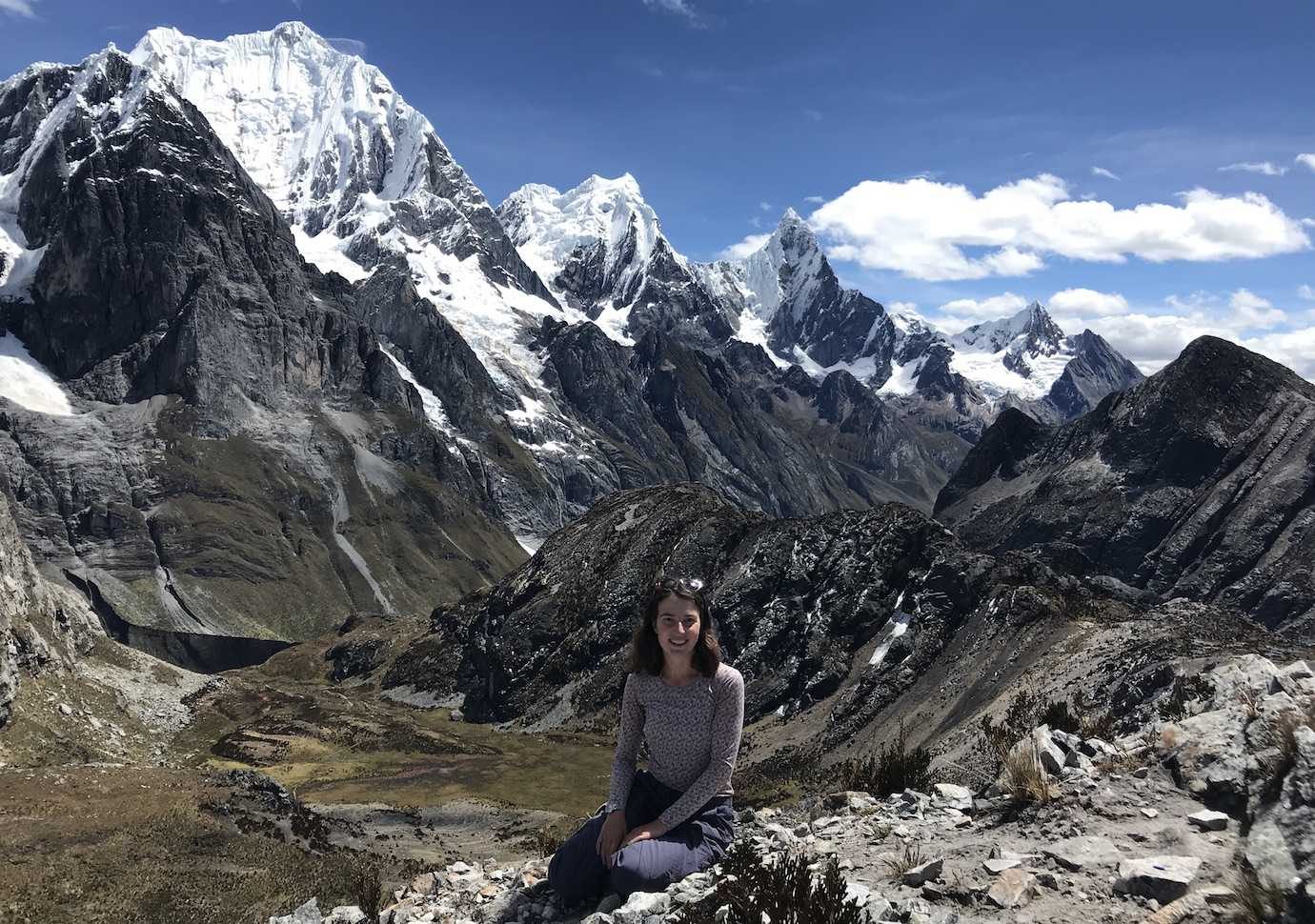
Wow, wow, wow!!! The Cordillera Huayhuash is seriously one stunning part of the world! I can easily see why it’s considered one of the top ten hiking circuits in the world – it really is spectacular!
We walked around 90km* over 8 days through ever changing landscapes (towering snow capped mountains, gorgeous glacial lakes, valleys, waterfalls…) and reaching altitudes between 4500-5090m daily.
*it’s hard to say distance as our guide was quite vague with the kilometres so I mainly used Maps.me as a reference. According to the health app on my iPhone, I walked over 110km but it’s hard to say how accurate it is!
It was challenging; we hiked up, over and down a mountain pass each day! It’s the longest multi day hike I’ve done and I’m over the moon I’ve completed it without any problems (just tired legs!)
My favourite days were the third, fourth and seventh – the landscapes were simply incredible!
The weather was fantastic – sunshine most days with some cloudy ones. I can’t believe how lucky we were, it made such a difference to the experience!
I highly highly recommend! I’d say the most beautiful and spectacular trek I’ve ever done and one of the highlights of my South America trip so far! Absolutely loved it!
I’m now really looking forward to a hot shower, clean clothes and putting my feet up!